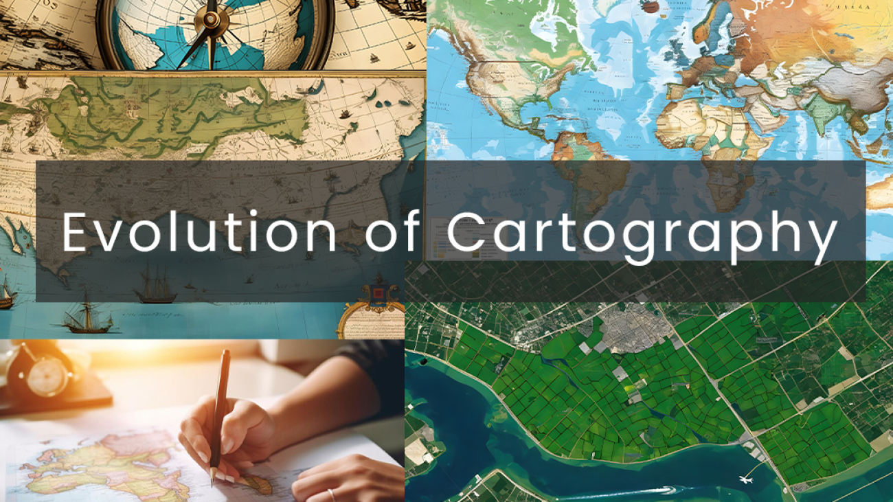
In this article, we are going to talk about The Power of Maps: Understanding Their Role in Shaping History and Society . Maps have always been more than just pieces of paper with lines and colors; they’re windows into our world’s past, present, and future. From the earliest cave drawings charting hunting grounds to the intricately detailed maps guiding modern-day explorers, these tools have shaped human history and society in profound ways.
Imagine setting sail without a map to guide you across the vast oceans or navigating through unfamiliar terrain without a map to lead the way. Maps have guided explorers to new lands, helped nations define their borders, and provided a sense of identity and belonging to communities around the globe.
Their influence extends beyond geography, influencing everything from urban planning and infrastructure development to cultural preservation and environmental conservation. In essence, maps are not just about lines on paper; they’re about understanding our place in the world and the interconnectedness of our lives.
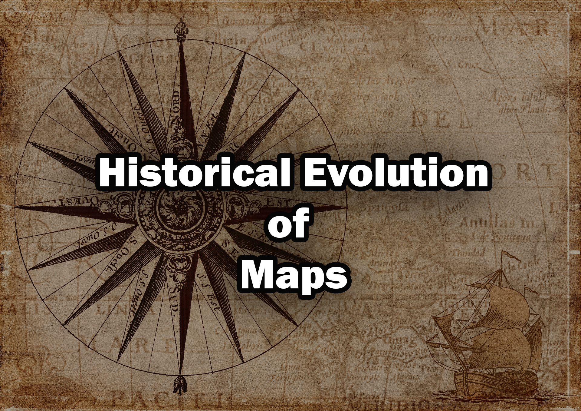
Historical Evolution of Maps
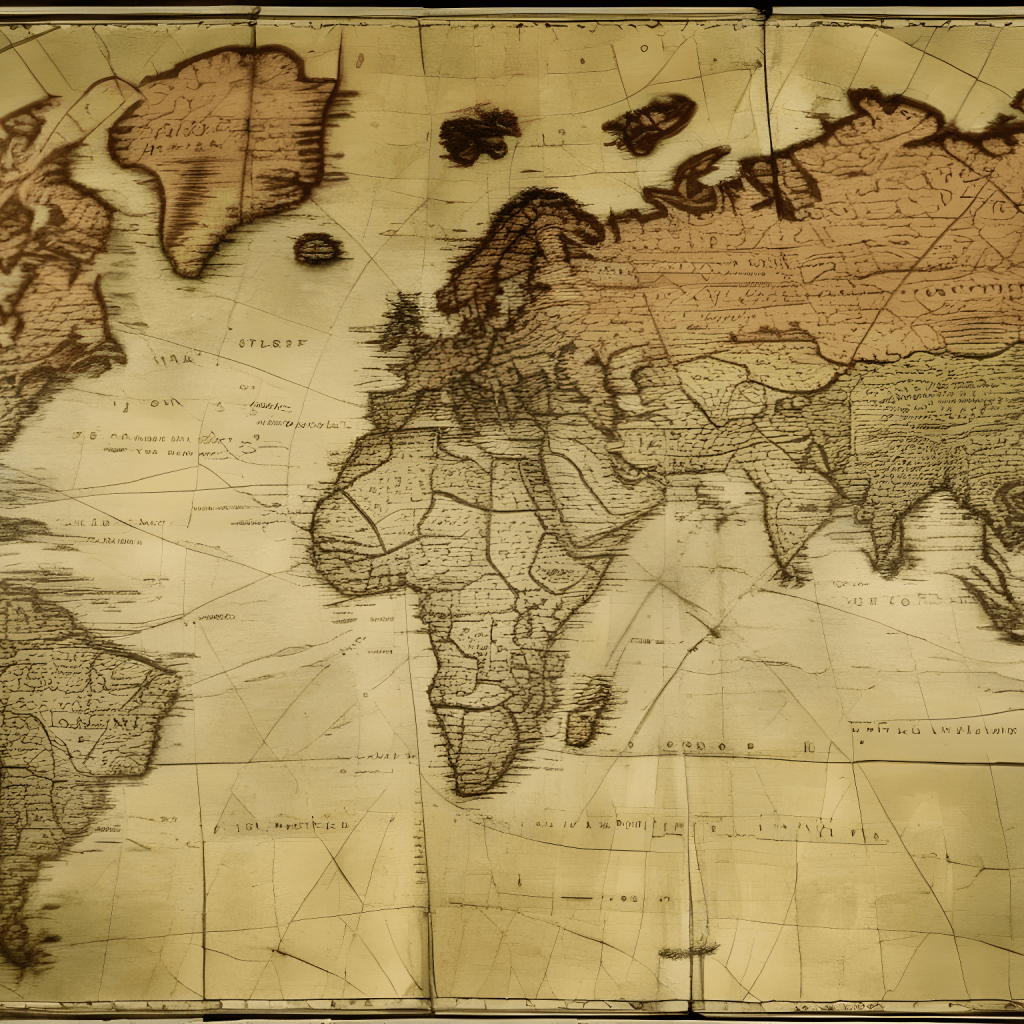
This all began with simple drawings on cave walls, where early humans depicted their surroundings and marked important locations. As civilizations flourished, so did the need for more accurate and detailed maps. Ancient cultures like the Egyptians, Greeks, and Romans contributed to the development of early mapping techniques, laying the foundation for what would become modern cartography.
Fast forward to the Age of Exploration, where intrepid explorers like Christopher Columbus and Vasco da Gama charted new territories and expanded our understanding of the world. With the advent of technology and scientific advancements, mapping entered a new era of precision and sophistication.
Today, maps are not just tools for navigation but also powerful tools for understanding our planet’s geography, resources, and interconnectedness. The historical evolution of maps is a testament to humanity’s innate curiosity and drive to explore and understand the world around us.
Mapping Exploration and Discovery
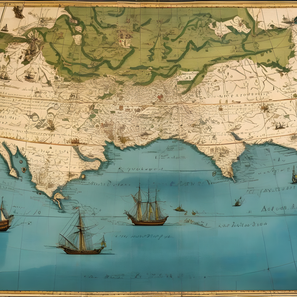
Maps have been essential companions in the human quest for exploration and discovery throughout history. From the daring voyages of ancient explorers to the modern-day expeditions into unknown territories, maps have guided adventurers and navigators alike on their journeys of discovery. In the Age of Exploration, maps were prized possessions, offering glimpses into distant lands and uncharted waters. They provided crucial information about coastlines, landmarks, and navigational routes, enabling sailors to chart new courses and brave the unknown with confidence.
One historical example of the essential role of maps in exploration is the voyages of Christopher Columbus in the late 15th century. In his quest to find a westward route to Asia, Columbus relied heavily on maps and navigational charts to plan his expeditions. Despite the prevailing belief that the Earth was flat, Columbus studied maps from various sources, including ancient texts and contemporary cartographers, such as Toscanelli and Ptolemy. These maps provided him with valuable information about known coastlines, trade routes, and geographical features.
Armed with these maps, Columbus set sail in 1492, embarking on his historic journey across the Atlantic Ocean. Throughout his voyages, Columbus used his navigational skills and the guidance of his maps to navigate the open seas and chart his course westward. Despite encountering unforeseen challenges and setbacks, including storms and navigational errors, Columbus ultimately reached the shores of the Americas, forever changing the course of history and expanding European knowledge of the world.
The importance of accurate maps cannot be overstated when it comes to navigating uncharted territories and expanding geographic knowledge. Precise cartography allows explorers to navigate treacherous terrain, avoid hazards, and identify potential resources. As explorers ventured into remote regions, accurate maps became invaluable tools for documenting new discoveries and recording geographic features. Today, in the age of satellite imagery and digital mapping technology, maps continue to play a vital role in exploration, providing detailed insights into the Earth’s surface and guiding expeditions to the farthest reaches of our planet and beyond.
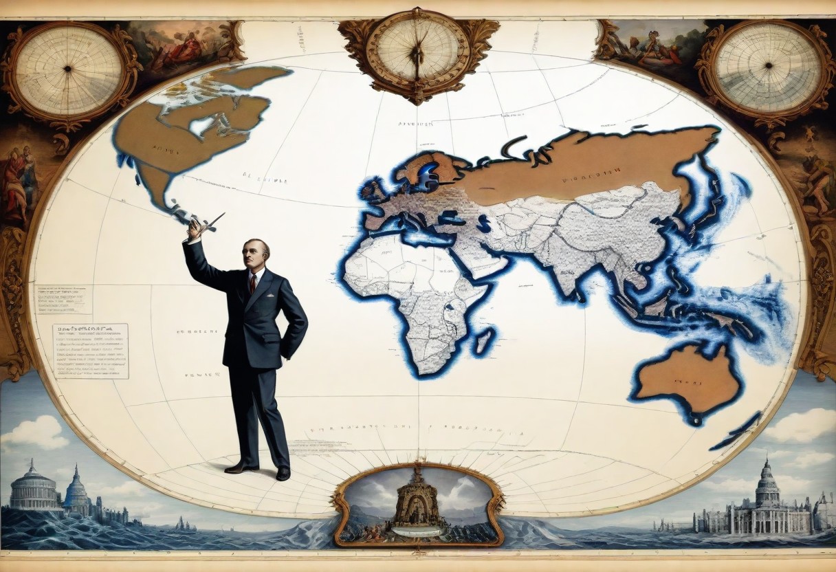
Maps as Tools of Power and Control
Throughout history, maps have wielded significant influence as tools of power and control. From the era of colonialism and imperialism to present-day geopolitical maneuvering, maps have served as powerful instruments for asserting dominance and shaping the course of nations. These cartographic representations were not mere depictions of geographic features; they were strategic tools used to delineate territories, establish boundaries, and justify claims to land and resources.
Through the art of cartography, empires expanded their domains, nations asserted their sovereignty, and conquerors justified their conquests. Maps became symbols of authority, shaping political landscapes and dictating the fates of peoples and nations alike. This can be seen in historical events like:
- Colonialism and Imperialism in Africa: During the 19th and early 20th centuries, European powers engaged in a scramble for Africa, seeking to establish colonial empires and exploit the continent’s resources. Maps played a crucial role in this process, as colonial powers used cartography to partition Africa among themselves at conferences such as the Berlin Conference of 1884-1885. Lines drawn on maps by European colonizers often ignored existing ethnic boundaries and traditional territories, leading to the imposition of artificial borders that fueled conflicts and divisions among indigenous peoples.
- Territorial Expansion in North America: In the 19th century, the United States pursued a policy of westward expansion, seeking to acquire land from indigenous peoples and other nations to fulfill its vision of Manifest Destiny. Maps were instrumental in this endeavor, as they were used to justify the annexation of territories such as Texas, Oregon, and California. The concept of “terra nullius” (empty land) was often employed to justify the seizure of indigenous lands depicted as unclaimed or unoccupied on maps, disregarding the presence and sovereignty of Native American tribes.
- The Scramble for Asia: In the late 19th and early 20th centuries, European powers, particularly Britain and France, vied for control over territories in Asia, including India, Southeast Asia, and China. Maps served as tools of imperial propaganda, depicting colonial possessions as extensions of European civilization and justifying the subjugation of indigenous peoples. Cartographic representations often reinforced colonial hierarchies, portraying European powers as superior and indigenous populations as inferior or primitive.
- Cold War Geopolitics: During the Cold War, maps played a pivotal role in the geopolitical rivalry between the United States and the Soviet Union. Both superpowers engaged in cartographic propaganda, producing maps that depicted the world according to their respective ideological perspectives. Maps were used to delineate spheres of influence, demarcate ideological boundaries, and justify military interventions in regions such as Korea, Vietnam, and Afghanistan. The geopolitical significance of strategic locations, such as the Berlin Wall and the Korean Demilitarized Zone, was underscored by their representation on maps as symbols of division and confrontation.
In the hands of those in power, maps have been employed to enforce control and exert influence over vast territories and populations. They have been used to demarcate borders, divide lands, and impose order upon diverse landscapes. By drawing lines on maps, rulers asserted their authority and imposed their will upon conquered territories, often at the expense of indigenous peoples and their ancestral lands.
Maps became instruments of domination, reinforcing hierarchies of power and perpetuating systems of oppression. Yet, despite their role as tools of control, maps also hold the potential to empower and liberate, providing a means for marginalized communities to reclaim their narratives and assert their rights to self-determination and autonomy.
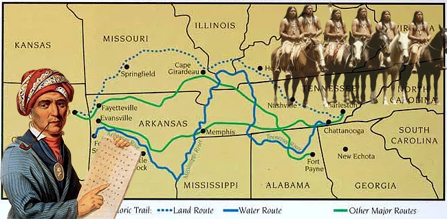
A historical example of this was during the 19th century in the United States, as settlers expanded westward, Native American tribes faced forced removal from their ancestral lands under policies like the Indian Removal Act of 1830. Resisting relocation, tribes like the Cherokee Nation, led by figures such as Sequoyah, utilized maps as tools of empowerment.
By creating maps of their territories and documenting their cultural and territorial rights, they asserted their sovereignty and resisted oppression. The famous “Trail of Tears” map, depicting the Cherokee’s relocation route to present-day Oklahoma, exemplifies this resistance. Through cartography, marginalized communities reclaimed their narratives, asserting their rights to self-determination and autonomy despite facing oppression, showcasing the transformative power of maps as tools of liberation.
Maps and Cultural Identity
Maps hold a powerful sway over how we see the world and ourselves within it. They are not just tools for navigation; they also mirror and shape our cultural identities. From the lines delineating indigenous territories to the names given to landmarks and places, maps tell the stories of who we are and where we come from.
For indigenous communities, maps are sacred documents that embody their connection to the land and the history of their ancestors. They depict not only physical geography but also spiritual and cultural landscapes, preserving centuries-old traditions and knowledge passed down through generations.
However, maps can also be agents of power and control, particularly in the context of colonialism. Colonial mapping practices often erased indigenous territories, imposed foreign place names, and distorted geographical realities to serve the interests of colonizers.
These maps perpetuated colonial narratives of dominance and superiority while marginalizing and disenfranchising indigenous communities. Today, the legacy of colonial mapping continues to shape perceptions of place and belonging, with indigenous peoples reclaiming their cartographic heritage as a means of asserting their rights to land, self-determination, and cultural autonomy.
Mapping Technological Advances
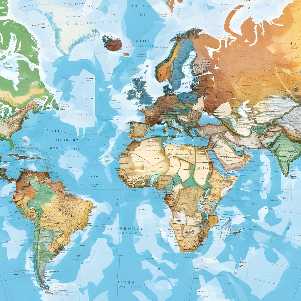
Over time, technological leaps have transformed the way we chart the world around us. From ancient civilizations sketching maps on papyrus scrolls to the intricate digital maps of today, each era has brought new innovations to the field of cartography. Early mapmakers relied on simple tools like compasses and astrolabes to navigate and draw coastlines, but with the advent of printing presses and accurate surveying techniques, maps became more detailed and widely accessible.
In recent decades, the rise of Geographic Information Systems (GIS) and online mapping platforms has revolutionized mapping, making it more accessible and interactive than ever before. GIS software allows users to analyze and visualize spatial data with unprecedented precision, enabling planners, scientists, and everyday users to make informed decisions about everything from urban development to environmental conservation.
Meanwhile, online mapping platforms like Google Maps and OpenStreetMap have democratized mapping on a global scale, empowering individuals to contribute their own geographic data and access detailed maps from anywhere with an internet connection. These technological advances have not only expanded our understanding of the world but also democratized the process of mapmaking, putting the power of cartography into the hands of people around the globe.
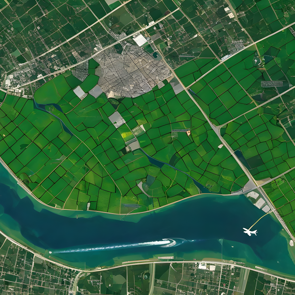
Maps and Environmental Awareness
Maps play a crucial role in helping us understand and tackle environmental challenges that affect our planet. They serve as powerful tools for raising awareness about pressing issues like deforestation, climate change, and habitat loss. By visualizing data on a map, we can see the extent of environmental damage and its impact on ecosystems and communities.
For example, maps can show the extent of deforestation in the Amazon rainforest or the melting of polar ice caps due to rising temperatures. This visual representation helps people grasp the scale of environmental issues and motivates action to address them.
Also, mapping technologies are instrumental in environmental conservation efforts and sustainable resource management. Advanced mapping tools, such as Geographic Information Systems (GIS), allow researchers and conservationists to analyze spatial data and identify areas of high biodiversity or ecological importance.
This information helps guide conservation strategies, such as establishing protected areas or implementing habitat restoration projects. Additionally, mapping technologies aid in monitoring changes in land use, tracking wildlife populations, and assessing the effectiveness of conservation interventions over time. By harnessing the power of maps, we can better understand our impact on the environment and work towards a more sustainable future for all species.
In conclusion, maps have played an integral role in shaping our understanding of the world, from ancient civilizations to the modern era. Throughout history, maps have guided explorers, defined borders, and fueled our curiosity about distant lands and cultures. As we reflect on the key findings of this blog post, it becomes clear that maps are not merely tools for navigation, but windows into the past, present, and future of humanity. Let us appreciate the power of maps to unite us in our shared journey, to illuminate the complexities of our world, and to inspire us to chart a course towards a brighter tomorrow.