Introduction
The word Cartography is derived from the two Greek words “chartis” (map) and “graphia” (writing), it is the art and science of map-making. It serves as a visual representation of the Earth’s surface, capturing both physical features and human-made structures. Maps have been integral to human civilization for millennia, serving as tools for exploration, navigation, and understanding the world around us.
Cartography can also be described as a technique that is fundamentally concerned with reducing the spatial characteristics of a larger area to a form that makes it more observable. E.g.: Earth, moon, and other geographic landscapes.
The significance of maps in human history cannot be overstated. From guiding ancient explorers across unknown terrains to aiding modern societies in urban planning and resource management, maps have shaped human progress and interaction.
Not only do they document geographical boundaries but also reflect the cultural, political, and technological advancements of their times. Cartography, in essence, bridges the gap between our planet’s actual landscapes and the rich patterns of human civilizations.
History of Cartography
The history of cartography cuts across four stages, they are;
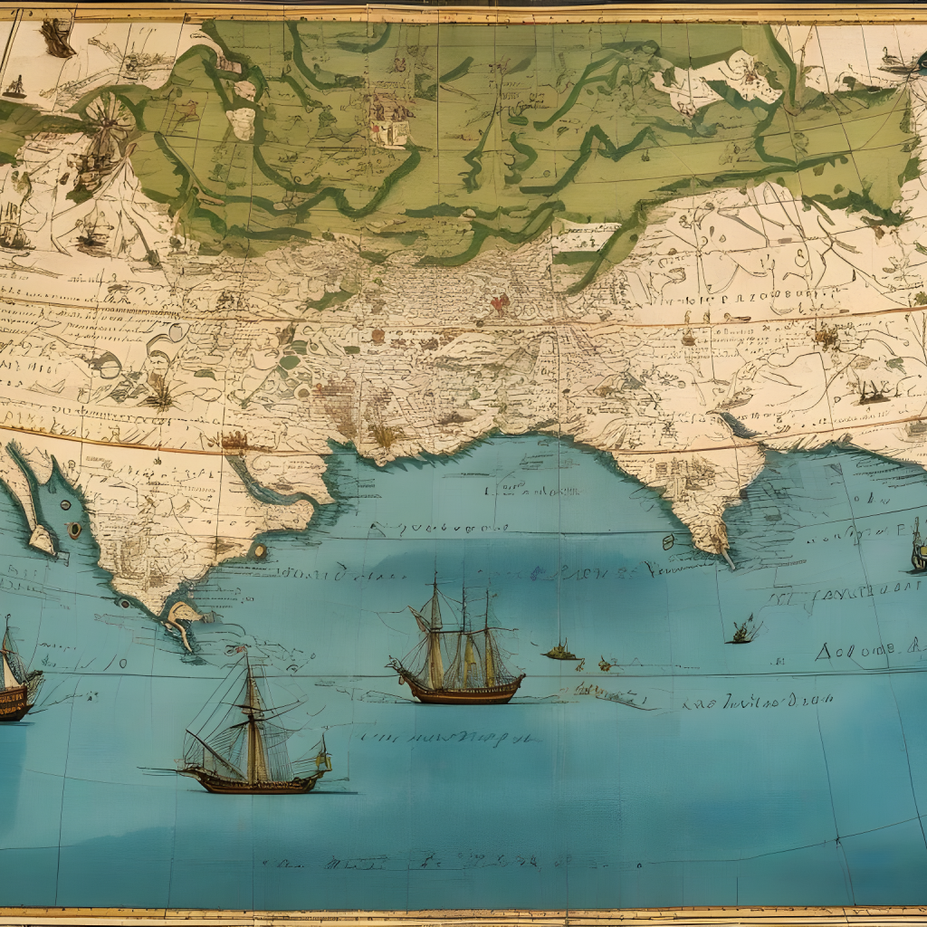
1. Renaissance in cartography: During the Age of Discovery, the creation of maps became essential. During this era, the European invention of printing and after 1450 advanced cartography. Fancy, and intricate craftmanship was popular within this era. In other words, accuracy was not the issue, but how beautiful a work is. During this era, cartography was not too far from the conventional artwork. The shortcomings of this stage created a platform for the second stage.
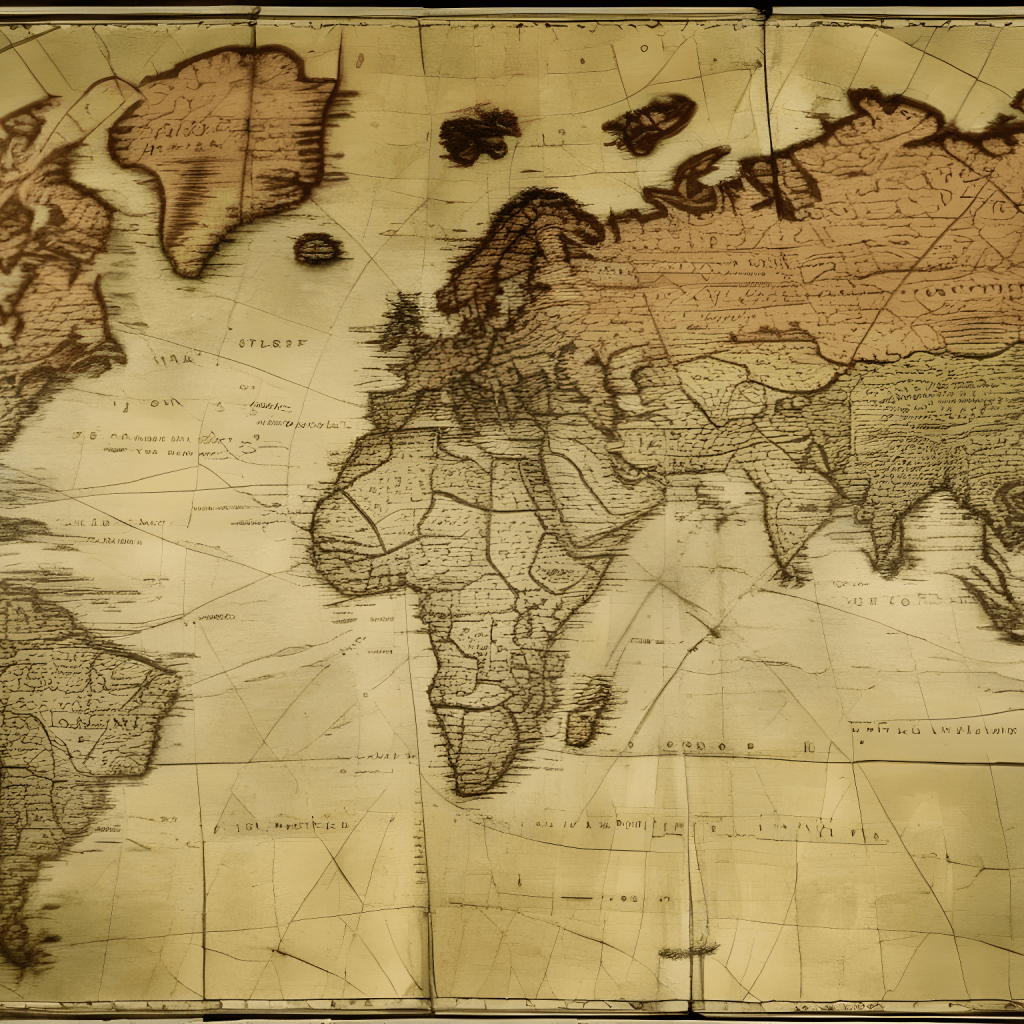
2. The early period of modern cartography: This took place between AD 1600 -1650. It initiated a new and fresh attitude towards cartography. Accuracy was introduced and the scientific method became fashionable. The unscientific and dogmatic method that dominated the Dark Ages and was avoided. The French Academy played a prominent role during this era. In other words, the academy emphasized accuracy for the purpose of art and navigation hence, cartography came to lime light.
3. The Rise of Thematic Cartography: These are special-purpose maps. It was based on the construction of sketches. Thematic cartography had to wait for the expansion of science and the study of man and its institution. Its main objective is specifically to communicate geographical concepts such as the distribution of densities, gradients, spatial relationships, movements, etc. This period recorded rapid change in cartography in the 19th century. Hence, creating room for other branches such as lithography, photography, color printing, and the rise of the techniques of statistics and growths of mass transport. By the beginning of the 20th century, the thirst for knowledge about the earth had led to a grand strike in all aspects of cartography.
4. 20th-century cartography: At this stage, cartography advanced technically. Cartography attained scholarly and professional status. Factors that favoured the growth include the 1st and 2nd World Wars; another factor that favoured the growth of cartography is the requisite military maps, route in population, demands for environmental information, development of aircraft, the development of electronic computers, photography, etc. Cartography is a body of theory and methods for dealing with problems of recording and communicating geographical information geographically; it could be in the computer, the air photograph, or other innovations. these methods are only aids to better economical and faster map making.
5. Modern Digital Mapping: Cartography has evolved beyond traditional boundaries in the modern era, leveraging technological innovations to change how we see and interact with geographic data.
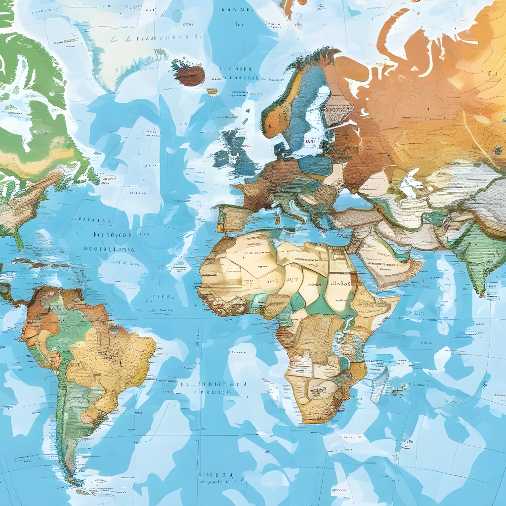
- Geographic Information Systems (GIS): Geographic Information Systems, commonly known as GIS, represent a revolutionary approach to mapping and spatial analysis. Unlike conventional maps, GIS integrates various data layers, allowing users to visualize, interpret, and understand complex relationships between different geographical elements. From urban planning and environmental monitoring to disaster management, GIS has become an indispensable tool across diverse fields, offering insights that traditional mapping methods could scarcely provide.
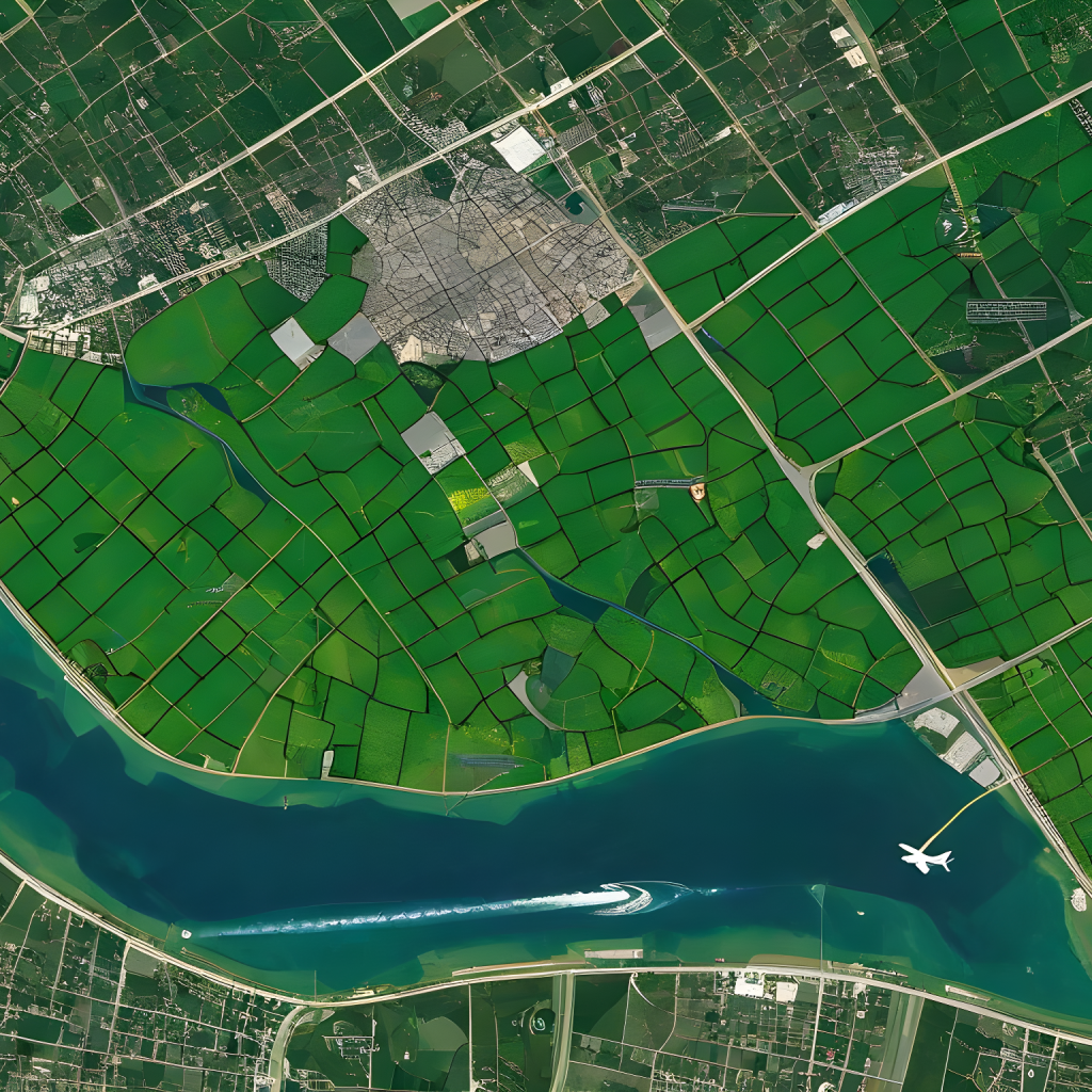
- Satellite imagery and GPS technology: The introduction of satellite imagery and Global Positioning System (GPS) technology ushered in an era of outstanding mapping precision. High-resolution images are captured by satellites orbiting the Earth, making it easy for cartographers to produce detailed and up-to-date maps of large geographic areas. In addition, GPS technology ensures pinpoint accuracy in determining locations, facilitating real-time tracking and navigation. Together, these technologies have made it easy to get access to geospatial information, empowering individual researchers and organizations to harness location-based insights with unique accuracy.
Challenges and Controversies of Cartography
Despite its importance, the field of cartography has not been without challenges and disputes, which illustrates the complex relationship that exists between representation, power, and knowledge. The following are the challenges and controversies in the field of cartography;
- Issues of Accuracy and Representation in Early Maps: Early maps generally struggled with representation and accuracy because they were created with limited technological tools and usually biased viewpoints. Territories were occasionally misrepresented, distances were computed incorrectly, and indigenous knowledge was disregarded, which resulted in biased perspectives and incorrect interpretations of geographical realities. Such discrepancies not only influenced navigational challenges but also shaped socio-cultural narratives, perpetuating myths and misconceptions about various regions and their inhabitants.
- Colonial Influences and the Politics of Mapmaking: The colonial era dramatically influenced mapmaking politics as European countries strove to exert authority and control over newly discovered regions. Maps became instruments of colonization, delineating borders, demarcating territories, and reinforcing imperial agendas. Indigenous lands were often misrepresented or omitted, leading to territorial disputes and enduring geopolitical tensions. The legacy of colonial mapmaking continues to resonate, underscoring the need for decolonized perspectives and inclusive representations in contemporary cartography.
- Modern Challenges like Data Privacy and Mapping Contested Regions: As maps become increasingly sophisticated and data-driven, concerns arise about the collection, storage, and dissemination of sensitive geospatial information. Furthermore, mapping contested regions, plagued with geopolitical complexities and territorial disputes, demands nuanced approaches that respect diverse perspectives and prioritize diplomatic dialogue over divisive delineations.
Conclusion
In conclusion, as we reflect on the evolution of cartography, we observe a transformative journey from primitive sketches to today’s dynamic digital maps, reflecting humanity’s expanding understanding of the world. Looking forward, the integration of emerging technologies like Virtual Reality (VR) and Augmented Reality (AR) is poised to redefine our interaction with maps, offering immersive and innovative cartographic experiences.
References
Literature and Cartography: Theories, Histories, Genres by Anders Engberg-Pedersen
Cartography: The Ideal and Its History by Matthew H. Edney