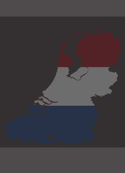
Download comprehensive GIS shapefiles of the Netherlands from SimplyGeography.com. Dive into detailed geographic data, perfect for research, analysis, and mapping. Take your GIS projects to the next level with accurate spatial information about the Netherlands. Download now!
Click here to download a shapefile containing data on the Netherlands’s administrative areas. –>